4 |
Oilfield Technology
Month
2014
Come visit us at
SEG Booth #2433
© 2016 TGS-NOPEC Geophysical Company ASA. All rights reserved.
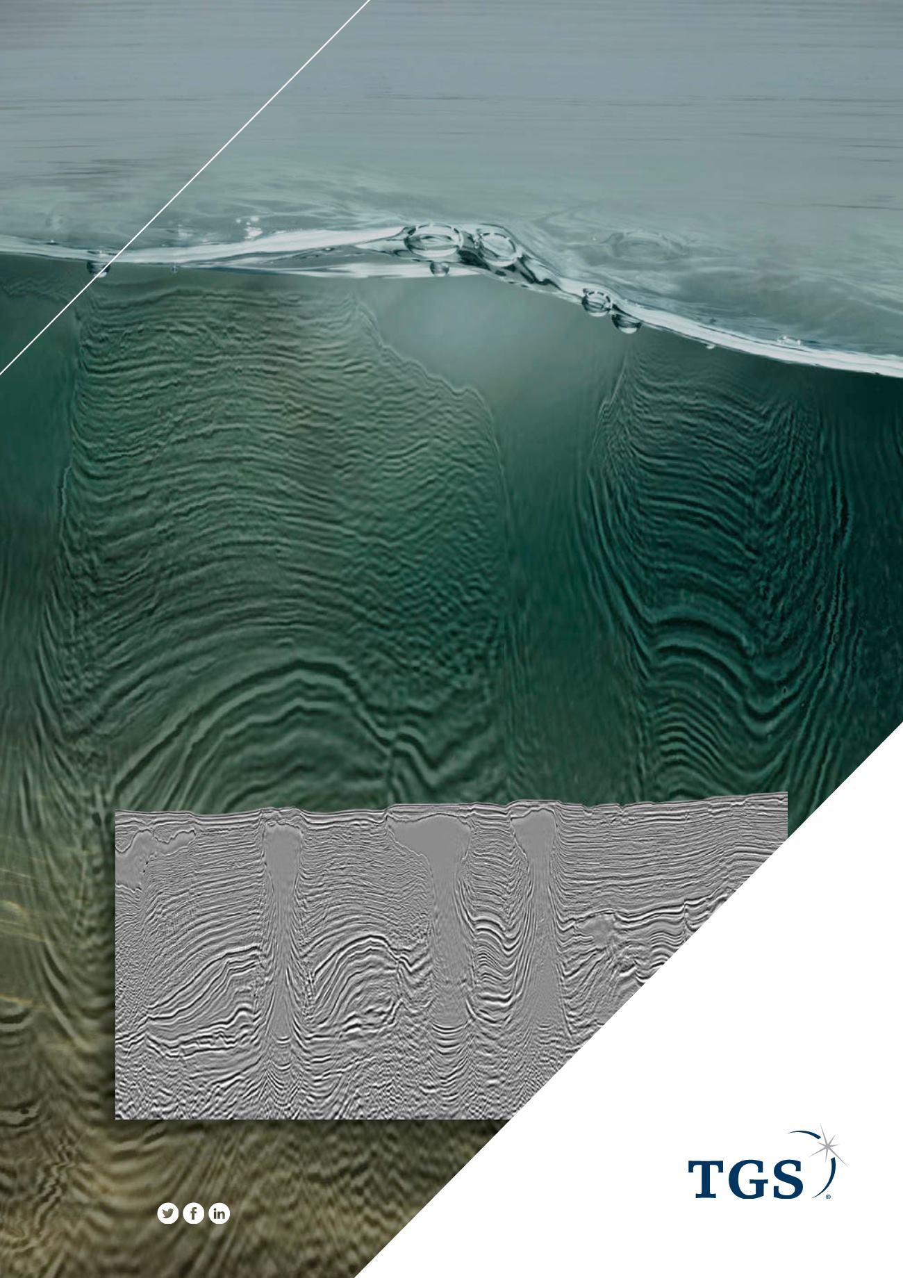
Declaration WAZ 3D covers 8,884 km2 (381 OCS blocks) in the Mississippi
Canyon, DeSoto Canyon, and Viosca Knoll protraction areas of the Central Gulf
of Mexico and was acquired to better image deep structural elements while
improving subsalt and salt flank illumination.
Through integration with TGS’ underlying orthogonal Justice WAZ 3D survey,
Declaration provides broadband multi-azimuth (M-WAZ) data with offsets to
16 km. The data is being processed using the latest TGS imaging technology
including Clari-Fi and Orthorhombic migrations. Final data will be available by
December 2016.
Let’s explore.
Set your sights
.
Gulf of Mexico
See the energy at
TGS.com


